
 Featured solutionHighway & Road ITS
Home / Technologies / Sensing & data
Sensing & data
Road Weather Systems (RWIS)
Measuring the conditions that change how safely a road can be used.
What it does
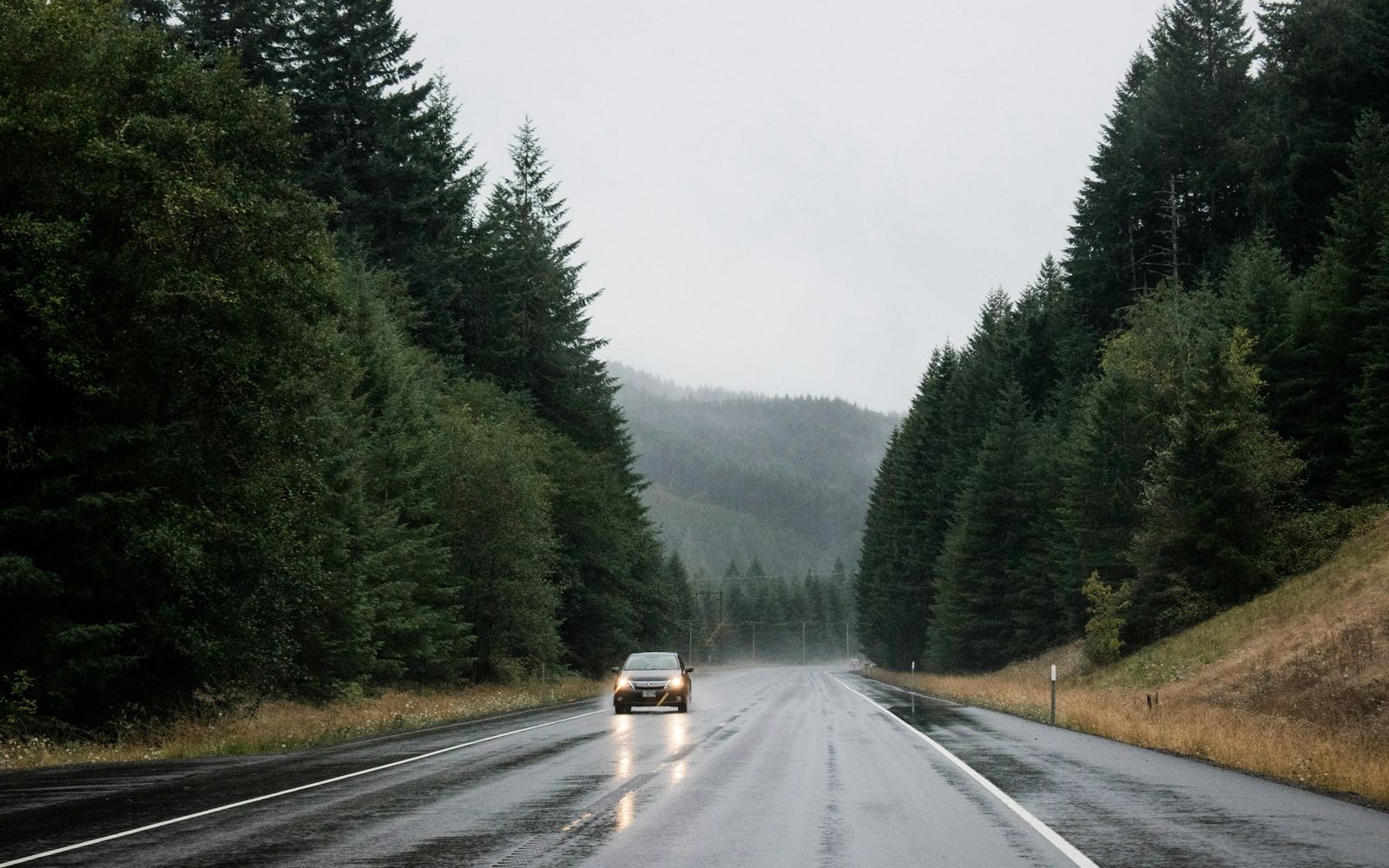
A road weather information system (RWIS) measures conditions at the roadside: visibility, wind, rainfall, air and surface temperature, and water on the road. In Qatar the main concerns are fog, dust, heavy rain and standing water. Readings can raise an alert in the control centre and trigger warnings on message signs.
Where it is used
- fog- and dust-prone highway sections
- bridges and exposed corridors
- underpasses liable to flooding.
What to consider
Which hazards matter
Visibility, wind, flooding or a combination.
Sensor placement
Representative of the road, not the verge.
Thresholds
Agreed with the operator before commissioning.
Sensor maintenance
Optical sensors need regular cleaning in dusty conditions.
In context
See where it sits in a working system.
Select a numbered point or a step. Drag the model to look around.
Drag to rotate · pinch or use + and − to zoom
Illustrative model. Generic equipment, not a specific site.
Specification guide
Parameters to define.
What a specification for this category should state. Values are confirmed against approved manufacturer data for each project.
| Parameter | Why it matters | Value |
|---|---|---|
| Sensor types | Accuracy and upkeep | To be confirmed |
| Alert thresholds | Automatic response | To be confirmed |
| Power (mains or solar) | Site feasibility | To be confirmed |
| Data interface | Integration with signs and centre | To be confirmed |
Technology category. Makes, models and specifications are confirmed against project requirements.
 Highways & corridors
Request a quotation for road weather systems (rwis).
The request opens with this category already added.